Getting Off the Shinkansen to See Mt. Fuji
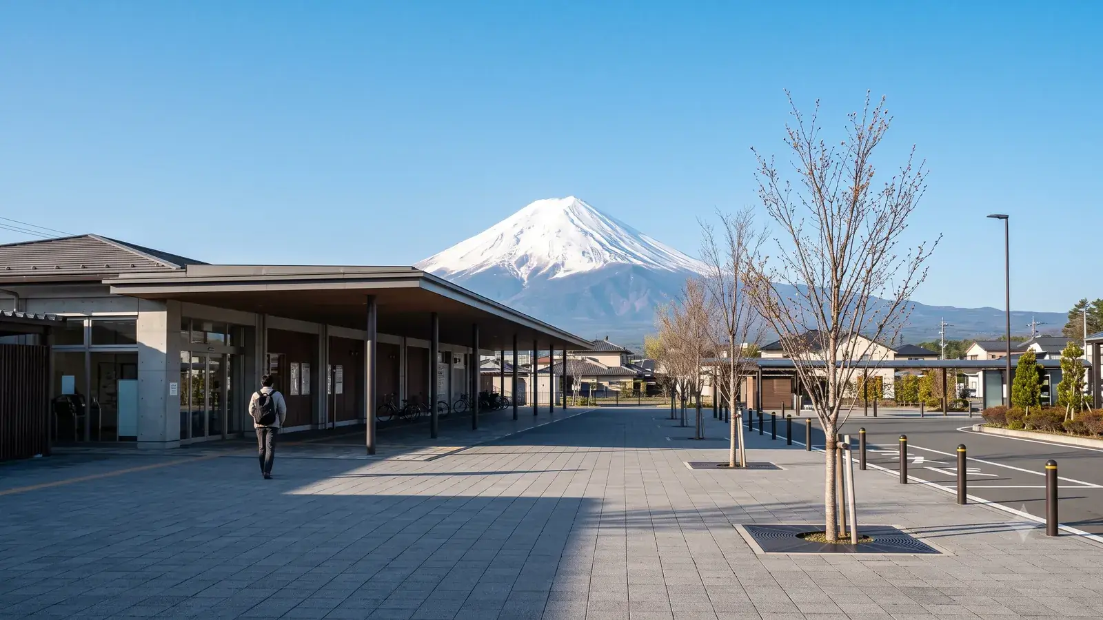
Mt. Fuji stays in the train window for only a few minutes. This article is a guide for those not content with those minutes — for getting off the Shinkansen and going to the foot of the mountain. It starts from the constraint that only certain trains let you get off, then covers what each of Shin-Fuji, Mishima and Shizuoka offers, and how to reach the World Cultural Heritage component sites of Miho no Matsubara and Fujisan Hongu Sengen Taisha — sticking to what official sources from the municipalities and the sites themselves confirm.
Enter your train number and see when Mt. Fuji appears→Only certain trains stop here
First, the premise: Nozomi trains stop at none of Mishima, Shin-Fuji or Shizuoka. Only Kodama stops at Shin-Fuji; Mishima and Shizuoka are served by Kodama and some Hikari (JR Central Tours). A stopover trip, in other words, is largely decided at the moment you buy your ticket.
Shin-Fuji Station: the viewpoint starts outside the ticket gate
Fuji City lists the Mt. Fuji Exit of Shin-Fuji Station among its official viewpoints, introducing it with the line that when you step off the Tokaido Shinkansen, Mt. Fuji is there to greet you (Fuji City). A place needing no transfer and no travel counts as a viewing spot — that is this station's character.
One caution. Shin-Fuji Station has no connection to conventional rail lines. JR Fuji Station, served by the Tokaido Line and the Minobu Line, is a separate station, and Fuji City publishes guidance on the buses running between the two (Fuji City). If your plan involves onward connections, do not overlook this.
Mishima Station: a park on a lava flow, and a suspension bridge
South of Mishima Station lies Rakujuen. Designated a national Natural Monument and Place of Scenic Beauty in 1954, the park exposes the Mishima lava flow, thought to be the terminus of lava that issued from Mt. Fuji's eruptions roughly 17,000 to 10,000 years ago (Mishima City). It is a place where Mt. Fuji turns out to be not distant scenery but the very ground underfoot. The eruptions themselves are covered in Mt. Fuji the active volcano and the Hoei eruption.
The other destination is the Mishima Skywalk. The city describes it as a 400-meter pedestrian suspension bridge from which you can see both Japan's highest mountain, Mt. Fuji, and its deepest bay, Suruga Bay (Mishima City). Getting there: about 26 minutes by Tokai Bus from stop 5 at Mishima Station's south exit. Buses run once or twice an hour, so check the timetable for both directions first (the route-bus timetable on the Skywalk access page).
From Shizuoka Station to Miho no Matsubara
Miho no Matsubara is one of the 25 component parts of the World Cultural Heritage property "Fujisan" (Shizuoka Prefecture). It is a pine grove covering a sand spit — a long, narrow landform of current-borne sand, about 7 km in total — thrust into the sea roughly 45 km southwest of the summit, and the setting of the Hagoromo legend of the celestial maiden and the fisherman (Agency for Cultural Affairs). Why a seaside pine grove 45 km away belongs to Mt. Fuji's heritage is taken up in Why Mt. Fuji is a World Cultural Heritage site.
From Shizuoka Station, take the Tokaido Line to Shimizu Station. From Shimizu, a bus toward Miho takes about 25 minutes; get off at "Miho Matsubara Iriguchi" and walk about 15 minutes (Shizuoka City). Near the grove's entrance stands the city's Miho Matsubara cultural center, "Mihoshirube." Shizuoka City notes that the "Sekai Isan Miho Matsubara" bus stop, served on weekends and holidays only, cuts the walk to about 5 minutes — the shortcut if your day of the week cooperates.
Fujinomiya: to the head shrine of the Sengen shrines
Fujisan Hongu Sengen Taisha is held to be the head shrine of the many Sengen shrines across Japan, and the ichinomiya (first shrine) of old Suruga Province (Fujinomiya City, Shizuoka Prefecture). The present main hall was begun in 1604 and consecrated in 1606; its two-storied form, with the sanctuary riding atop a lower structure, is called "Sengen-zukuri," and Shizuoka Prefecture describes it as the only surviving example of the type. The Wakutama Pond in the precincts is fed by Mt. Fuji's spring water, and pilgrims once purified themselves here before heading up the mountain (Agency for Cultural Affairs). The Agency's commentary records that the shrine's authority over the mountain above the eighth station was recognized by shogunal decision in 1779; the Meiji government designated the land state property around 1877, and it was returned to the shrine in 2004 on the basis of a 1974 Supreme Court judgment.
The nearest station is Fujinomiya on the JR Minobu Line, a 10-minute walk from the shrine (Fujinomiya City). The Minobu Line joins the Tokaido Line at Fuji Station — so if you alight at Shin-Fuji, you take the bus to Fuji Station and transfer there.
Lake Tanuki and Shiraito Falls
Deeper inland from Fujinomiya Station, the places that face the mountain head-on multiply.
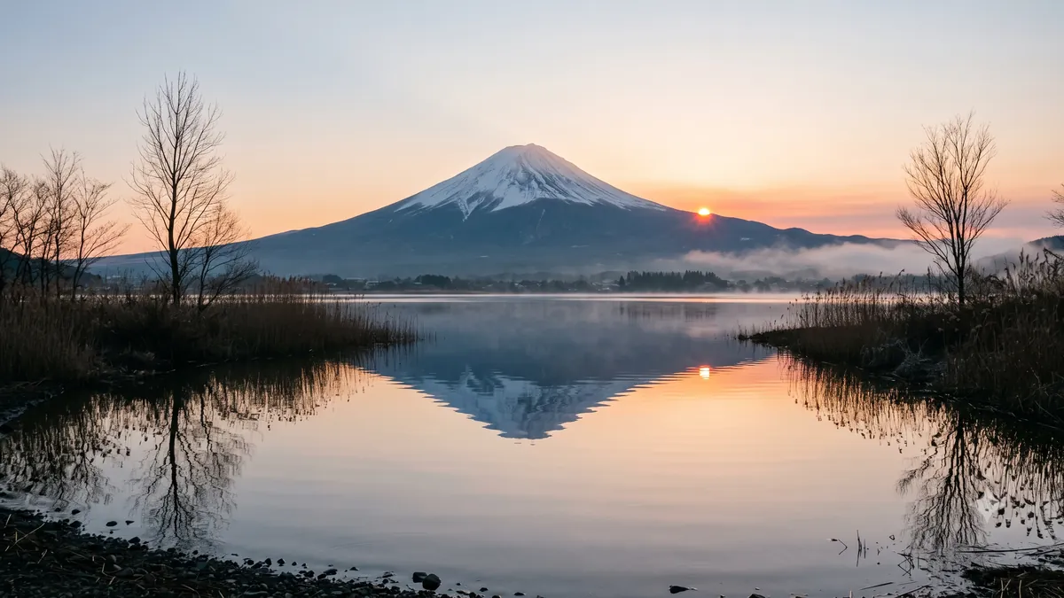
Lake Tanuki sits at a corner of the Asagiri Highland: 1 km east–west, 0.5 km north–south, 3.3 km around, positioned to face the full profile of Mt. Fuji due east. Fujinomiya City notes that for about a week around April 20 and around August 20, you can see Diamond Fuji — the morning sun rising from the summit (Fujinomiya City). The relation between dates and places is explained in Akafuji, Beni-Fuji and Diamond Fuji — what's the difference?.
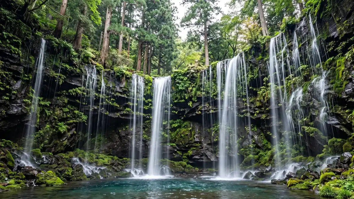
Shiraito Falls is a curved cliff 20 m high and 150 m wide, down which hundreds of streams large and small fall. Mt. Fuji's snowmelt seeps out at the boundary between the permeable Shin-Fuji volcanic layer and the impermeable Ko-Fuji layer beneath it. It is a national Place of Scenic Beauty and Natural Monument, and a component part of the World Heritage property. From JR Fujinomiya Station, the bus to Shiraito no Taki takes about 30 minutes (Fujinomiya City).
A destination for rainy days
The Shizuoka Prefecture Mt. Fuji World Heritage Centre in Fujinomiya opened on December 23, 2017. The building wears a lattice of prefectural timber and mirrors an upside-down Fuji in the reflecting pool at its front; inside, you view the exhibits while climbing a spiral ramp connecting the first to the fifth floor. The architect is Shigeru Ban Architects (Mt. Fuji World Heritage Centre). Keep it in mind for days when cloud hides the mountain, and your plans won't fall apart.
Check officially before you go
The journey times and walking minutes above are the figures published by the municipalities and facilities. Bus frequencies, fares and opening hours change — always confirm on the official sites before setting out.
And before deciding whether to get off at all, you can check when Mt. Fuji appears from the train you're on at Mt. Fuji from the Shinkansen (the time calculator). Shin-Fuji is a pass-through station for Nozomi and Hikari with no official passing time, so the displayed times are estimates. Some days the mountain doesn't show. Those are precisely the days it is worth getting off and going closer.
Sources
- JR Central Tours, "Tokaido Shinkansen stops at a glance" (in Japanese) — Nozomi does not stop at Mishima, Shin-Fuji or Shizuoka; Shin-Fuji served by Kodama only, Mishima and Shizuoka by Kodama and some Hikari
- Fuji City, "17: Shin-Fuji Station Mt. Fuji Exit" (in Japanese) — city viewpoint; "step off the Tokaido Shinkansen and Mt. Fuji greets you"
- Fuji City, "Buses between Fuji Station and Shin-Fuji Station" (in Japanese) — route and community buses between the two stations
- Mishima City, "Rakujuen Municipal Park (National Natural Monument and Place of Scenic Beauty)" (in Japanese) — south of JR Mishima Station; designated 1954; the Mishima lava flow from eruptions c. 17,000–10,000 years ago
- Mishima City tourism site, "Mishima Skywalk" (in Japanese) — 400 m pedestrian suspension bridge; Mt. Fuji and Suruga Bay from the deck
- Agency for Cultural Affairs, Cultural Heritage Online, "Miho no Matsubara" (in Japanese) — c. 45 km southwest of the summit; spit c. 7 km long; some 50,000 black pines over c. 4.5 km; the Hagoromo legend; paintings from the 16th century onward
- Shizuoka City, "Miho Matsubara Cultural Creation Center 'Mihoshirube'" (in Japanese) — bus from JR Shimizu Station toward Miho, alight at "Miho Matsubara Iriguchi"
- Shizuoka Prefecture, "The Component Parts of Fujisan" (in Japanese) — 25 component parts, including Miho no Matsubara, Fujisan Hongu Sengen Taisha and Shiraito Falls
- Fujinomiya City, "Fujisan Hongu Sengen Taisha" (in Japanese) — head shrine of the nation's Sengen shrines; Wakutama Pond; 10 minutes on foot from JR Fujinomiya Station
- Shizuoka Prefecture cultural properties navi, "Main Hall of Fujisan Hongu Sengen-jinja" (in Japanese) — ichinomiya of Suruga; built from 1604, consecrated 1606; "Sengen-zukuri," the only surviving example
- Agency for Cultural Affairs, Cultural Heritage Online, "Fujisan Hongu Sengen Taisha" (in Japanese) — head shrine; purification at Wakutama Pond; authority above the eighth station recognized 1779, land returned 2004
- Fujinomiya City, "Lake Tanuki" (in Japanese) — Asagiri Highland; 1 km × 0.5 km, 3.3 km around; full view of Mt. Fuji due east; Diamond Fuji for about a week around Apr 20 and Aug 20
- Fujinomiya City, "Shiraito Falls" (in Japanese) — 20 m high, 150 m wide; springs at the boundary of the Shin-Fuji and Ko-Fuji volcanic layers; national Place of Scenic Beauty and Natural Monument; about 30 minutes by bus from JR Fujinomiya Station
- Shizuoka Prefecture Mt. Fuji World Heritage Centre, "Facility Overview" (in Japanese) — opened Dec 23, 2017; prefectural-timber lattice; inverted Fuji in the reflecting pool; spiral ramp from the 1st to the 5th floor; designed by Shigeru Ban Architects
All illustrations on this page are AI-generated images, not photographs of the actual scenery.